Mikulov – Březí – Nový Přerov – Novosedly – Dolní Dunajovice – Bavory – Mikulov
34.1 km
2
365 m
80 %
20 %
Entrance to circuit
Mikulov, Březí, Dobré Pole, Nový Přerov, Novosedly, Dolní Dunajovice, Perná, Bavory
Marked roads
41, EV9, Mikulovská, Moravská vinná, Greenway Prague–Vienna, Stará hora, 5, Greenway Krakow–Morava–Vienna, 5236, 5044
Refreshments
Mikulov, Březí, Nový Přerov, Novosedly, Dolní Dunajovice, Bavory, Mikulov
Please note
Starting from Mikulov, international route 52 must be crossed using the pedestrian crossing near the roundabout at Billa. It is necessary to cross international road 52 – the Dolní Dunajovice – Perná intersection.
Good to know
‘Velká Slunečná’ is the largest of the Dunajovice Hills and, due to its artificial terraces, calls to mind an ancient Mayan step-pyramid.
Tips and historical sites along the way
Nový Přerov – a small wine-making village. You can visit the Church of St. Michael the Archangel.
Novosedly and Dolní Dunajovice – the trail leads through vineyards and along great many wine cellars, continuing along the Dunajovice Hills.
Bavory – Church of St. Catherine of Alexandria, Statue of St. John of Nepomuk, a chapel and wayside shrine.
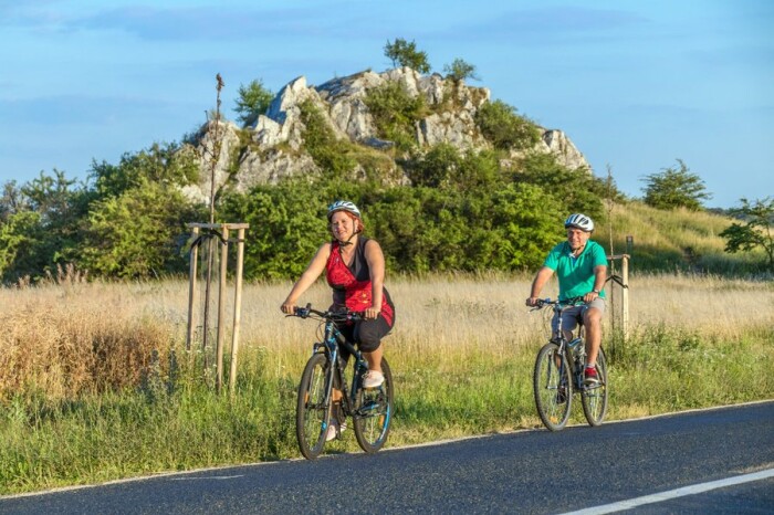
The Cat Rock – a limestone rock which is a natural monument. Situated at the side of the Mikulov – Klentnice road. There are twelve specially protected plant species growing here, the road is easily accessible.
Download path

Download path in GPX format
Download the entire path in one file