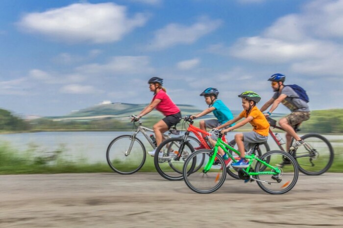
Mikulov – Nový Přerov – Wildendürnbach – Pottenhofen – Mikulov
29.6 km
2
235 m
90 %
10 %
Entrance to circuit
Mikulov, Březí, Dobré Pole, Nový Přerov, Wildendürnbach, Pottenhofen
Marked roads
41, EV9, Greenway Prague–Vienna, EV13, Hallo Nachbar
Refreshments
Březí, Nový Přerov, Mikulov, Wildendürnbach
Please note
In Mikulov, international route 52 must be crossed using the pedestrian crossing near the roundabout at Billa.
Good to know
The top of Galgenberg offers fantastic views of the surrounding area.
Tips and historical sites along the way
Nový Přerov – the Church of St. Michael the Archangel, originally a chapel which was rebuilt and extended in its present form.
Galgenberg – 256 m high hill is situated about 1 km away from the village of Wildendürnbach. It owes its name to a gallows which stood there until 1828. The hill is covered by vineyards and wine cellars at three elevations. A little tower rises at its very top.
Pottenhofen – an Austrian wine village with plenty of scenic spots.
Download path

Download path in GPX format
Download the entire path in one file